

Description
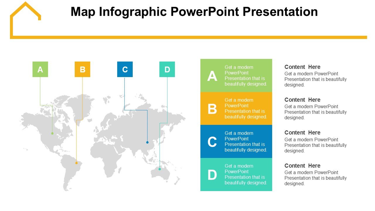
The Map Infographic PowerPoint Presentation PPT template is an essential resource designed to simplify the visualization of geographical data. Tailored to meet the needs of educators, professionals, and advocates, this PPT template serves as an invaluable asset for presenting complex location-based information in a clear and engaging manner. Whether you’re a teacher illustrating geographical concepts, a business analyst showcasing market distributions, or an environmental advocate discussing global issues, this slide template is equipped to enhance your storytelling and data presentation.
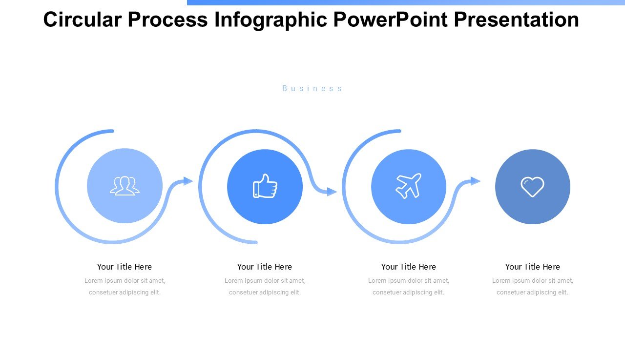
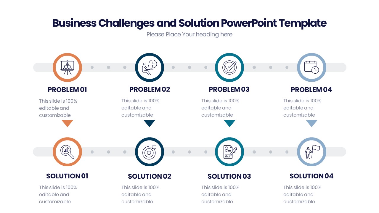
The Map Infographic PowerPoint Presentation slide template is meticulously crafted to accommodate various educational and professional requirements. It features a range of customizable map designs that can be tailored to represent specific data and trends geographically. The user-friendly nature of this presentation template allows presenters to effectively communicate insights and narratives that depend on spatial understanding, making it ideal for a wide array of disciplines and industries.
Through the use of this PPT slide, presenters can create compelling and informative slides that are both visually appealing and educational. The template’s design emphasizes clarity, with clean lines and readable text, ensuring that your audience can easily grasp the presented geographical data without being overwhelmed by complexities. This focus on user-friendly design makes the Map Infographic PowerPoint Presentation PPT template a go-to choice for anyone needing to convey location-based analytics or stories.
Moreover, this presentation template is not just about aesthetics; it is a practical toolkit that enhances the presenter’s ability to communicate effectively. With its integration of infographics and maps, the template facilitates a deeper understanding and retention of the information by the audience, making it a powerful ally in educational and professional settings.
Features:
– Fully editable templates: Customize every element of the slides with ease.
– High-quality map graphics: Designed for clear visualization and professional appearance.
– Wide variety of map styles: Includes a range of geographic representations from country-specific maps to world maps.
– Compatible with PowerPoint and Google Slides: Works across popular presentation platforms.
– User-friendly design: Ensures that information is accessible and engaging for all audiences.
– Versatile color schemes: Choose from multiple color options to match your presentation’s theme or branding.
Use Cases:
– Ideal for classroom teaching on global and regional studies.
– Suitable for business presentations detailing international operations or market analysis.
– Effective for environmental presentations focused on issues like climate change and conservation efforts.
– Useful for non-profit organizations advocating for various causes with a geographical dimension.
– Applicable in government or public sector setups for explaining policies or demographics with a spatial element.


There are no reviews yet.