


Description
The Global Map PowerPoint Presentation PPT template is an exceptional resource designed to cater to educators, professionals, and advocates who require a comprehensive and visually engaging presentation tool. This PPT template is meticulously crafted to assist users in delivering impactful presentations that feature global geographical and demographic data. Whether you are a teacher explaining global geography, a business professional presenting international market analysis, or an advocate discussing global issues, this presentation template is tailored to meet a variety of needs.
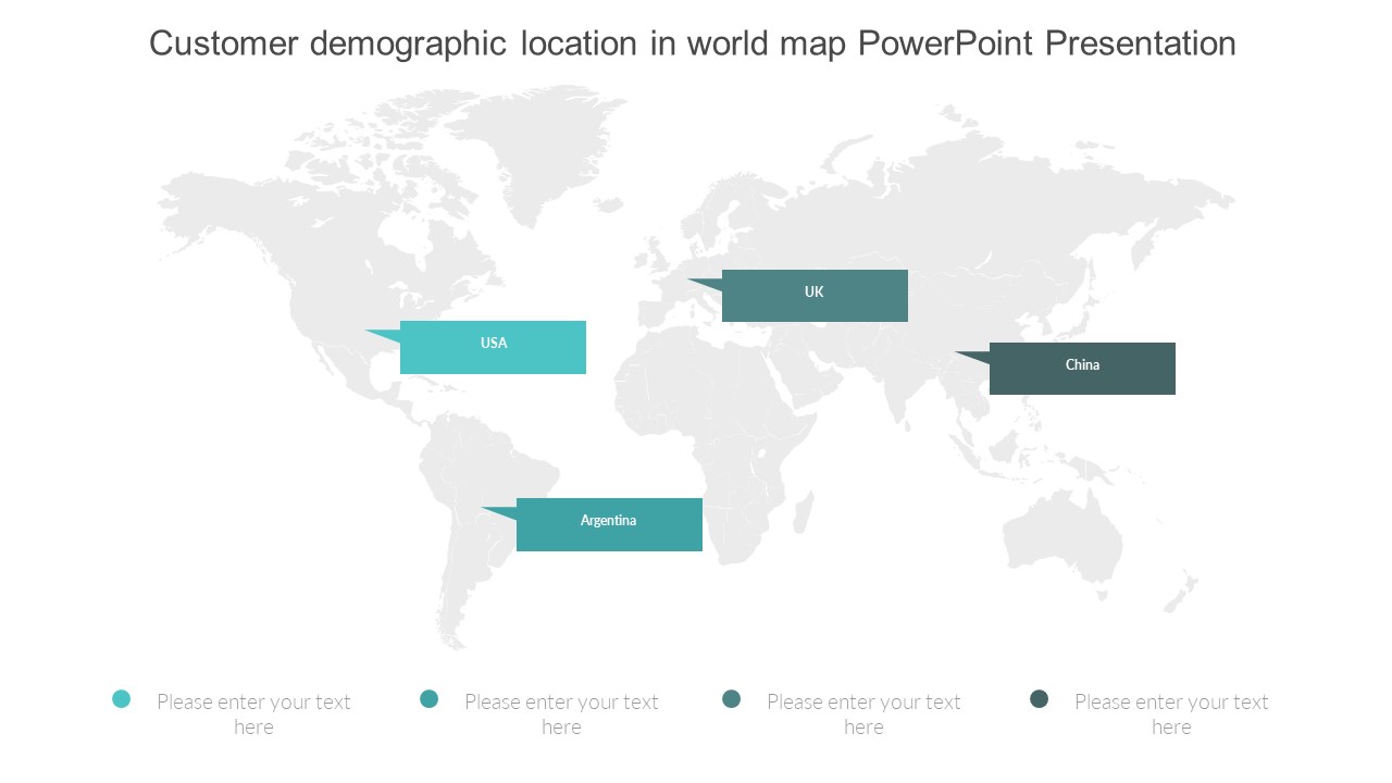
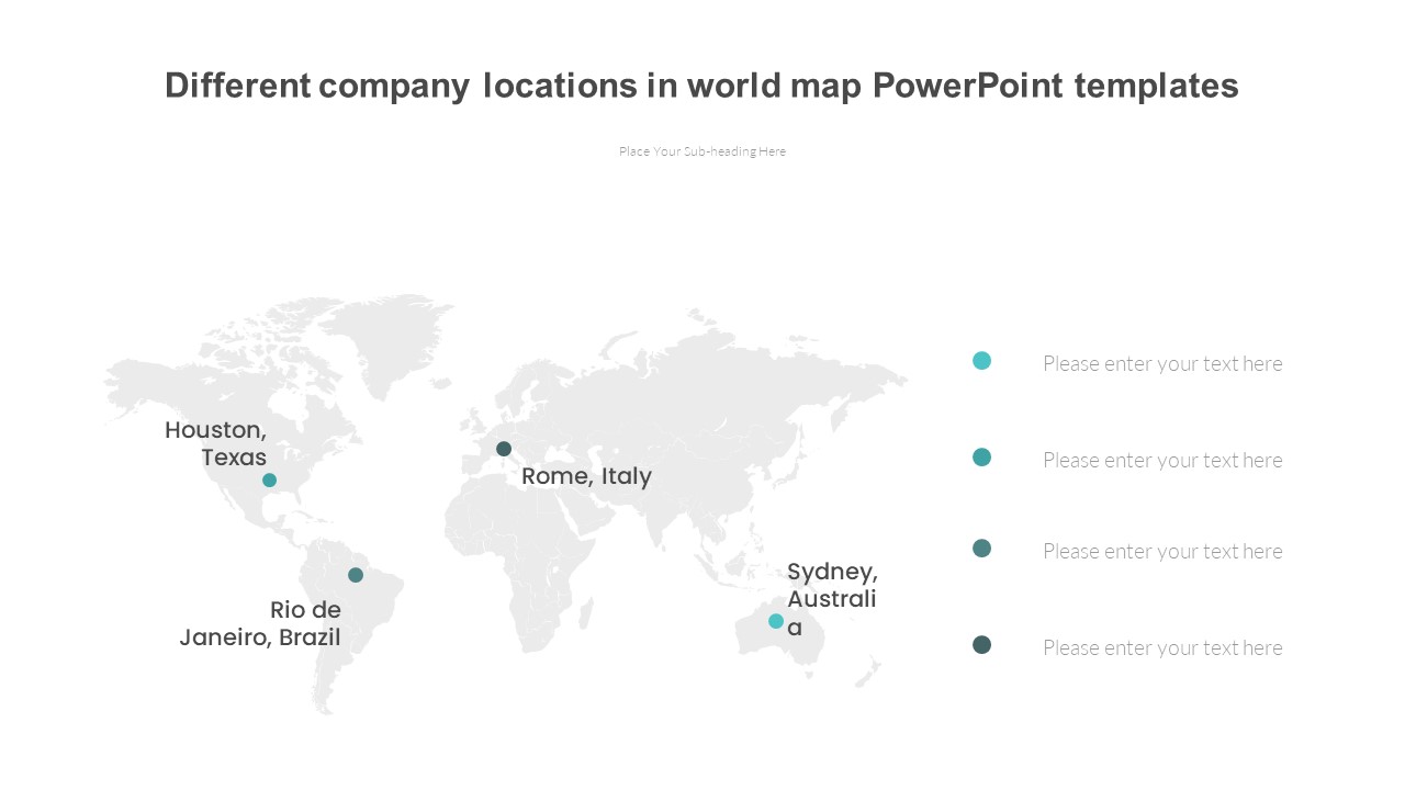
This PPT slide template integrates high-quality maps covering various regions and countries across the world. Each slide is designed with attention to detail, ensuring that all geographical boundaries are accurately represented. The Global Map PowerPoint Presentation slide template is not only a tool for displaying locations but also a versatile aid in explaining complex data through visual means such as charts, graphs, and infographics that can be easily integrated into the maps.
The customizable nature of this PPT template allows users to modify colors, text, and icons, aligning with their specific presentation needs or organizational branding. This flexibility makes it an invaluable asset for creating presentations that are both informative and visually appealing. Furthermore, the ease of use of the Global Map PowerPoint Presentation PPT template ensures that even those with minimal technical skills can create professional-quality presentations without extensive training.
Incorporating this slide template into your presentations will not only enhance the delivery of factual content but also engage your audience with clear, visually stimulating maps that facilitate a better understanding of global contexts. It’s an ideal choice for anyone looking to portray global statistics, trends, or educational content in a clear and effective manner.
Features:
– Fully editable templates: Customize every element of the slides with ease.
– High-resolution maps: Detailed and accurate representations for over 100 countries.
– Compatibility with PowerPoint and Google Slides: Ensures seamless use across different platforms.
– Integration of charts and infographics: Easily add and edit data visualizations to support your narrative.
– Wide variety of map styles: Choose from political, physical, or thematic maps depending on your presentation needs.
Use Cases:
– Perfect for educators teaching subjects like geography, history, or social studies.
– Ideal for multinational corporations presenting global market trends or business strategies.
– Useful for non-governmental organizations advocating for international issues like climate change or human rights.
– Suitable for government presentations on foreign policy or global economic conditions.
– Beneficial for researchers and academics sharing findings with an international focus.


There are no reviews yet.