

Description
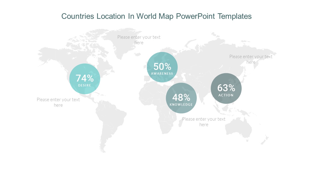
Gain insights into global markets and showcase geographical data effectively with our Countries Location in World Map PowerPoint Templates. Understanding the location and distribution of countries across the world is essential for strategic planning, market analysis, and decision-making. This presentation template offers a dynamic and visually engaging platform to visualize country locations and their relationships using world maps.
Featuring professionally designed slides and an intuitive layout, this template allows you to present geographical data with clarity and precision. Whether you’re highlighting target markets, analyzing regional trends, or showcasing distribution networks, the world map format provides a comprehensive overview of global locations and their significance.
With fully editable slides compatible with PowerPoint and Google Slides, customization is seamless, enabling you to tailor the presentation to your specific data requirements and preferences. From sales presentations to academic lectures, this template empowers users across various domains to create impactful visuals that enhance understanding and communication.
Gain a competitive edge, make informed decisions, and drive success with our Countries Location in World Map PowerPoint Templates. Elevate your presentations and showcase geographical data with confidence using this versatile template.
Key Features:
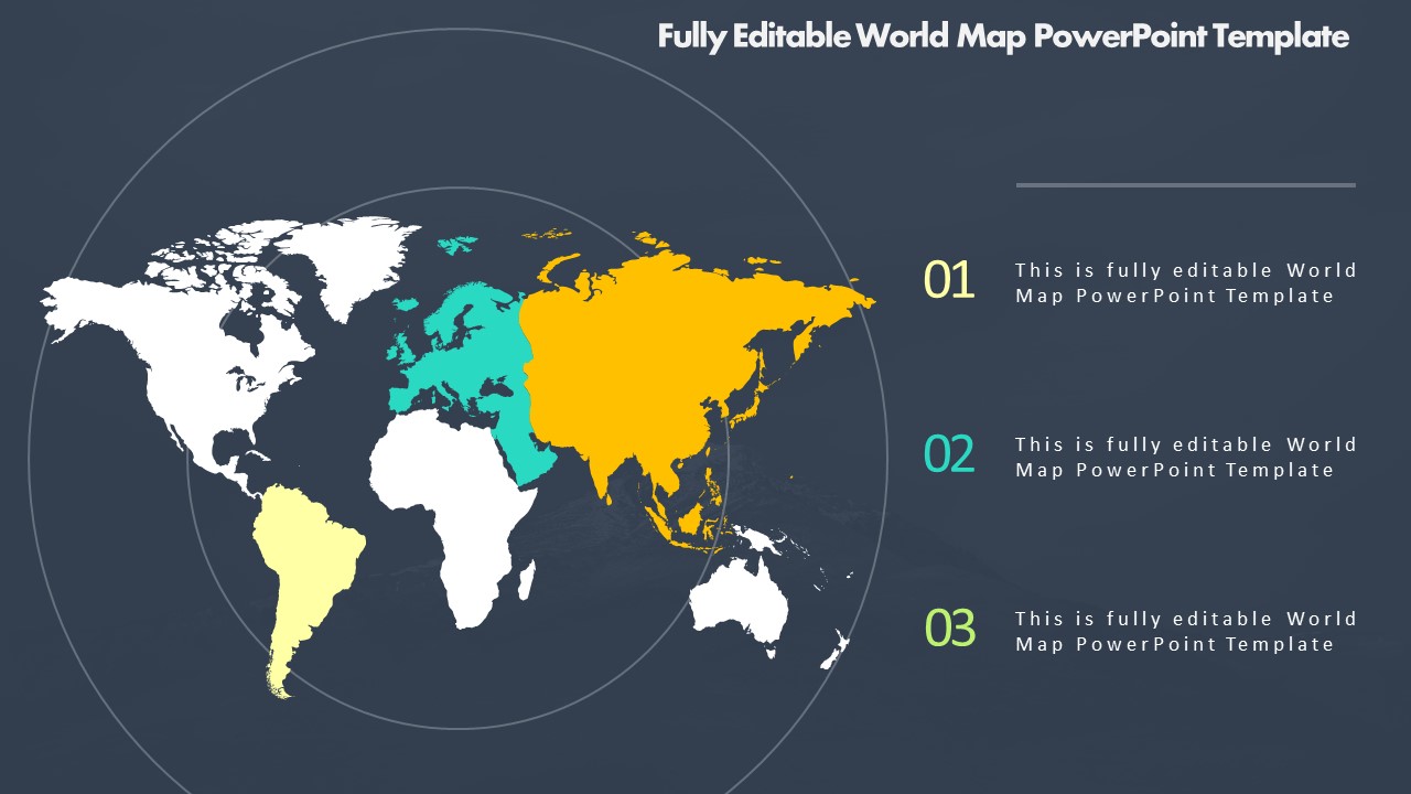
- Professionally designed slides for visualizing country locations on world maps.
- Intuitive layout to highlight geographical data, regional trends, and distribution networks effectively.
- Fully editable and customizable content, allowing adaptation to specific data requirements and preferences.
- Compatibility with PowerPoint and Google Slides for seamless integration into presentations.

There are no reviews yet.